Appearance
Blueback Investigator Quick Guide
Examples
Multi region 3D model comparison
3D properties and well logs
Option for introduction slide.
Multi region 3D model comparison
Often a statistical comparison between multiple regions in a 3D geomodel is required. This regional comparison can be facilitated using spatial selectors
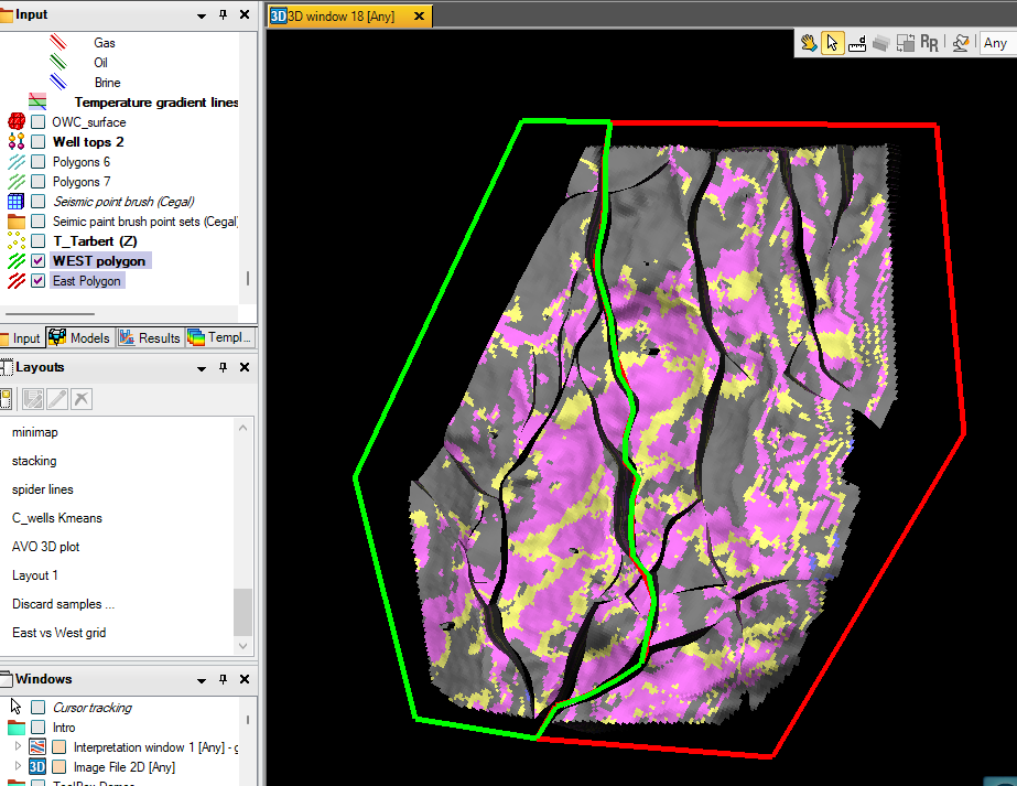
Digitize individual Petrel polygons per region
Multi region 3D model comparison
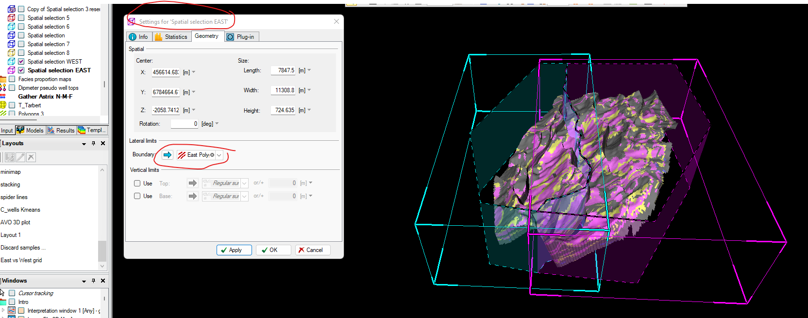
Insert as many spatial selectors as you have regions
Use the corner widgets to adjust lateral to cover polygons and vertically to cover the height of the model
(widgets are activated when the spatial selector is active, and curser is in pointer mode)

Multi region 3D model comparison
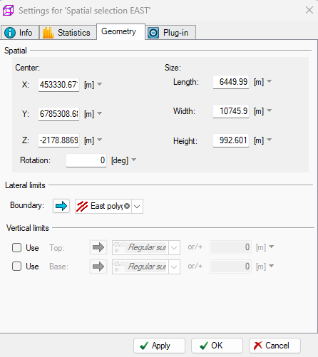
Open settings for each spatial selector and drop in corresponding regional polygon in the geometry tab
Multi region 3D model comparison
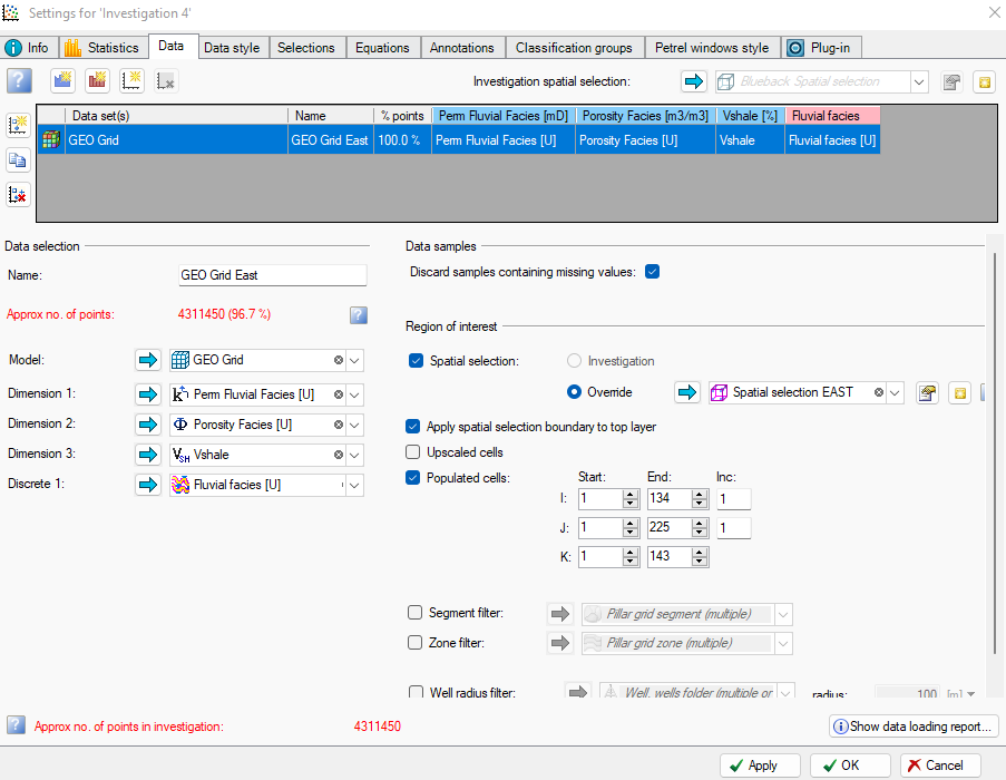
Build the Investigation. Start by adding a Model data set and insert the geo grid as the model, add continuous and potentially discrete variables (Dimensions) Toggle ”Spatial selection”, and drop in a spatial selection
Use ‘Copy selected data set’ to make a new model data set entry. Change the spatial selector and name of data set

Multi region 3D model comparison
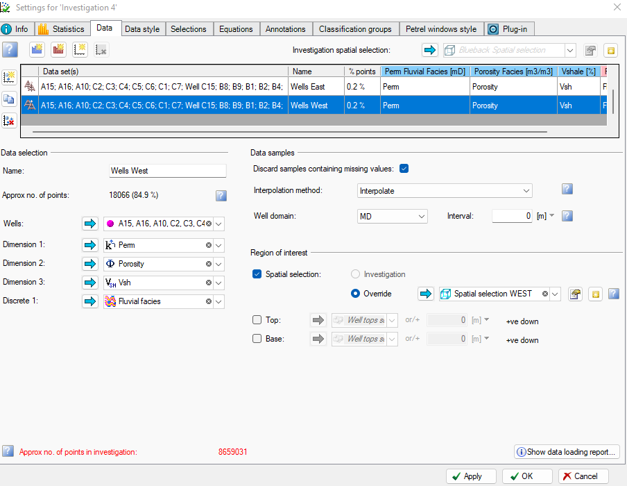
Insert as many well log data sets as you have model data sets. Add all wells used for upscaling and use the spatial selectors to limit the wells to region. Remember to name the data sets according to region
Multi region 3D model comparison
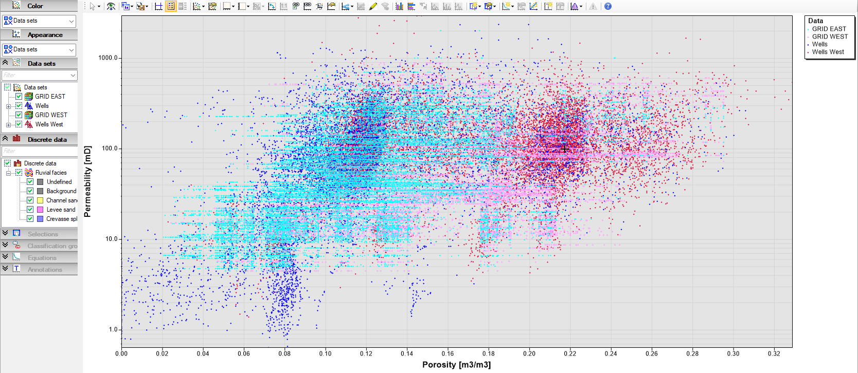
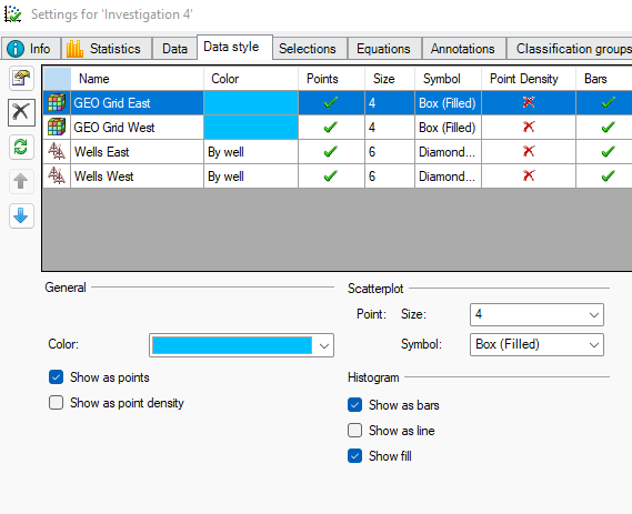
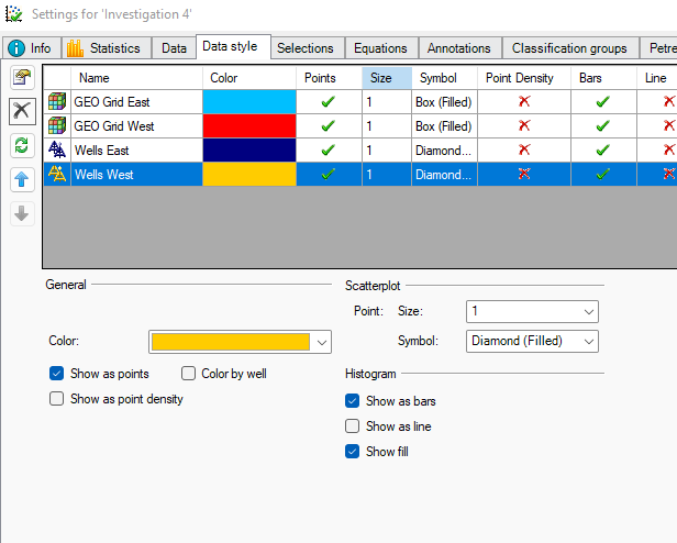
Since we used the ‘copy selected data set’ we need to change the color of the copied data sets. Go to Data Style tab and change colors of the data sets - click OK, and the investigation is ready to plot
Multi region 3D model comparison
Adjust plot and window style to get the best overview of the data. Toggle statistics for comparison